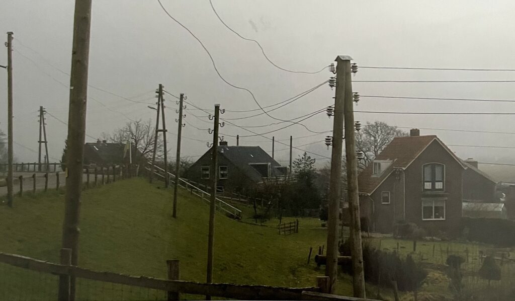
Living near the Watersnoodmuseum, I had long wanted to visit this place and explore the history of one of the greatest natural disasters in the Netherlands—the 1953 flood. The museum is located in Zierikzee, on the island of Schouwen-Duiveland in the province of Zeeland. It was here, on February 1, 1953, that nature struck with unprecedented force, flooding vast areas and claiming the lives of more than 1,800 people.
However, beyond being a history lesson, the museum combines education with interactive learning. Multimedia exhibits, simulations, and games help visitors understand the mechanisms behind storms, their consequences, and methods of protection. The museum’s surroundings—beautiful nature and the proximity of water—make it a unique place on the map of the Netherlands.
A Disaster That Could Have Been Avoided?
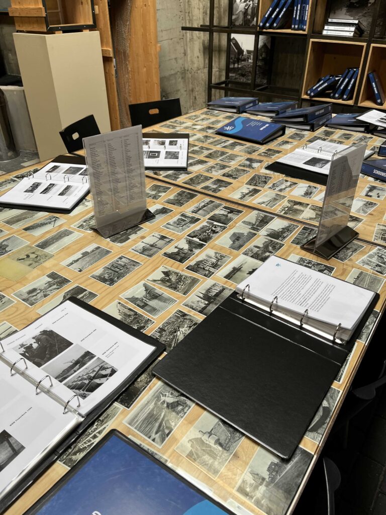
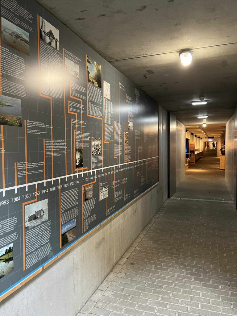
The early 1950s was a time when meteorological and communication technology was far from today’s standards. In the museum, visitors can see documents and photographs showing how weather forecasts were made in those days—without satellites or modern warning systems. Weather data was gathered from hand-drawn meteorological maps, updated every six hours.
The first warning signals appeared as early as January 31, 1953, but due to the lack of immediate information flow, many people had no chance to evacuate. Telephone networks were still manually operated, and during the storm, many lines were severed, making it impossible to relay warnings.
Causes of the Flood – A Devastating Combination
The 1953 flood resulted from several unfavorable atmospheric events occurring simultaneously:
- An extremely strong storm in the North Sea that began on January 30.
- A combination of strong winds and low pressure, which caused massive waves and a sudden rise in water levels.
- A full moon, which further increased the tide.
- Weak flood defenses—many dikes were too low and poorly maintained.
In the museum, visitors can see photos and reconstructions depicting the moment when the dikes started to break, allowing the water to rush into villages and towns.
How Do Storms Form?
The Mechanism of Storm Formation
Storms in the North Sea, like the one in 1953, are created by a combination of several atmospheric factors:
- Differences in atmospheric pressure – Strong storms are driven by contrasts between high and low pressure. The greater the difference, the stronger the winds.
- Jet stream influence – Fast-moving winds in the upper atmosphere can direct a low-pressure system straight toward the European coast.
- The Atlantic Ocean’s impact – Warm waters from the Atlantic provide energy, while cold air masses from the north cause sudden pressure drops, intensifying the storm.
- The full moon effect – In the case of the 1953 flood, an additional factor was the storm surge caused by the Moon’s gravitational pull, which raised sea levels even further.
- The Coriolis effect – Due to the Earth’s rotation, winds in the Northern Hemisphere turn left, enhancing the rotation of the low-pressure system over the North Sea.
Storms and Storm Surges
One of the greatest threats during a storm is a storm surge. In 1953, water levels rose up to 4.5 meters above normal, overwhelming the dikes.
A storm surge forms when:
- Strong winds push water toward the coast, causing it to pile up.
- Low atmospheric pressure causes water levels to rise, acting like a suction effect.
- Narrow bays and estuaries amplify the effect, as the water has nowhere to disperse, leading to an even higher surge.
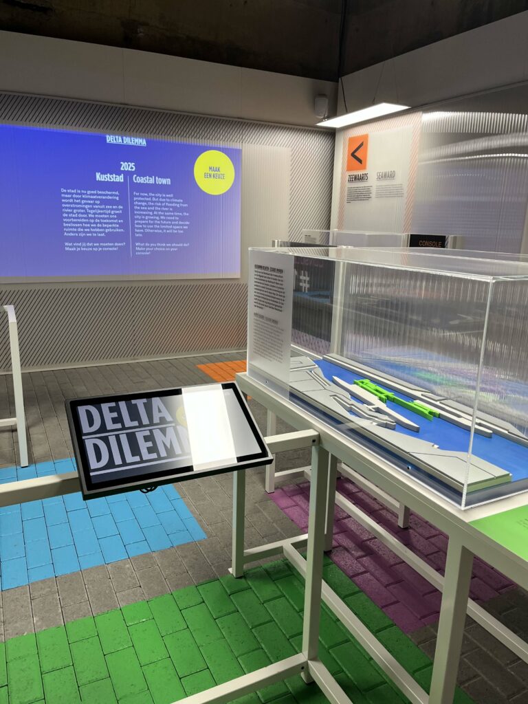
At the Watersnoodmuseum, visitors can explore interactive models demonstrating how storms form and how they raise water levels. One of the most fascinating exhibits is a simulation where visitors can “control” weather conditions and observe how hydrological conditions change.
Deltawerken: The Dutch Response to Disaster
After the catastrophe, the Dutch government decided that such a tragedy would never happen again. In 1958, the construction of Deltawerken (the Delta Project) began—a monumental flood protection system that became one of the greatest engineering feats of the 20th century.
Deltawerken consists of 13 key structures, including:
1. Dams and Storm Surge Barriers
- Oosterscheldekering (Eastern Scheldt Barrier) – The largest and most advanced barrier, completed in 1986. This 9-kilometer-long structure consists of 65 enormous sluice gates, which can be closed in case of danger.
- Maeslantkering – A movable barrier on the Nieuwe Waterweg River, built in the 1990s. It features two gigantic gates that close the entrance to Rotterdam’s port during extreme weather conditions.
- Haringvlietdam – A dam that regulates water flow between the North Sea and the Meuse River.
2. Water Locks and Drainage Channels
- Volkerakdam and Haringvlietdam – These structures not only protect against floods but also regulate freshwater access for agricultural regions.
- Hollandsche IJssel Storm Surge Barrier – The first completed barrier within the Deltawerken project (1958), designed to protect Rotterdam.
3. Reinforcement of Dikes
- As part of the project, hundreds of kilometers of dikes were reinforced and raised along the Dutch coastline.
- Most dikes were heightened to 11 meters above sea level to withstand the strongest storms.
4. Modern Technologies in Deltawerken
- Automated forecasting systems – Computer models analyze atmospheric and hydrological conditions, predicting threats.
- Water level sensors monitor changes in real time and trigger barrier closures when necessary.
Is Deltawerken Enough in the Face of Climate Change?
The Netherlands is the lowest-lying country in Europe—26% of its land is below sea level. Rising sea levels and increasingly severe storms mean that even Deltawerken might not be sufficient in the future. That’s why the Dutch are implementing new solutions:
- Room for the River – A project that allows water to flood controlled areas rather than attempting to block it completely.
- Advanced computer modeling – Scientists continually improve algorithms for predicting floods.
- Dike reinforcement – Another phase of dike modernization is currently underway.
My Impressions After Visiting the Watersnoodmuseum
The Watersnoodmuseum is a place that leaves a lasting impression. The combination of historical documents, photographs, survivor testimonies, and multimedia presentations allows visitors to feel the terror of those days. But it is also a story of human determination, engineering precision, and learning from past mistakes.
If you ever find yourself in Zeeland, I highly recommend visiting this museum. It is an extraordinary history lesson that reminds us of how powerful and unpredictable the sea can be—and how crucial it is to be prepared for its whims.
Sources:
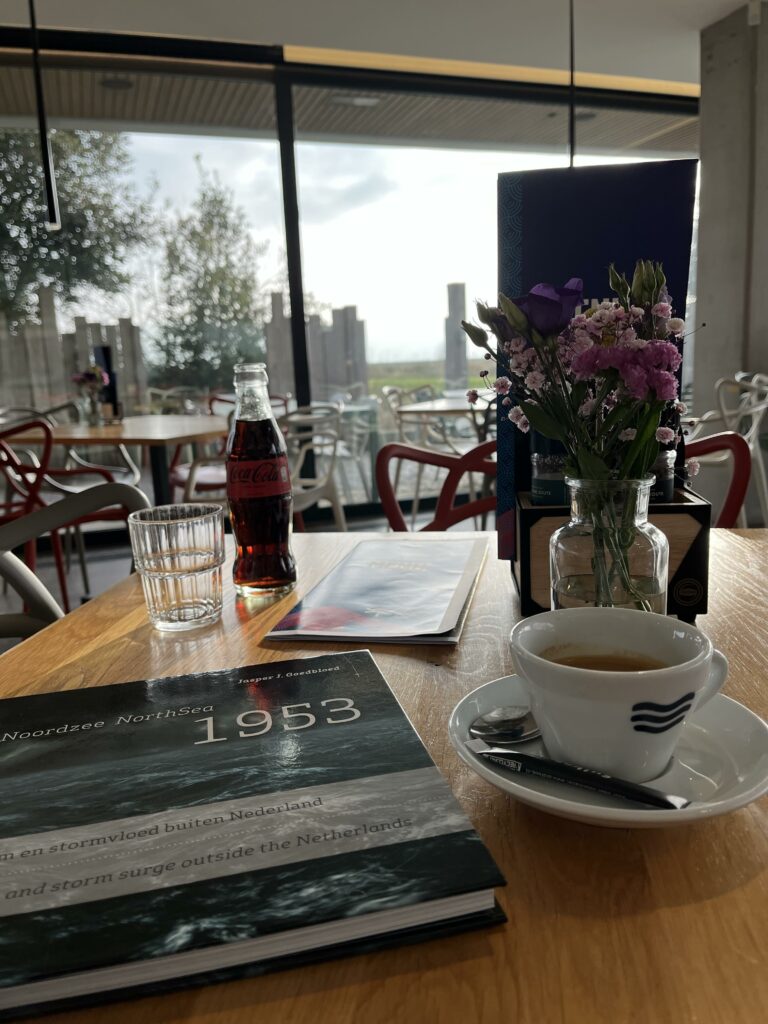
- Noordzee 1953 – Storm en stormvloed buiten Nederland, Jasper J. Goedbloed
Leave a Reply